
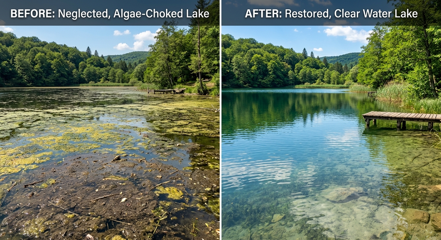
Lake Elsinore, Lake Perris, and Big Bear Lake
Lake Elsinore is perhaps the most instructive example of warm-climate lake management challenges in California. This natural lake in western Riverside County has a long history of extreme water quality fluctuations, including massive fish kills, intense cyanobacteria blooms, and periods when the lake nearly dried up entirely. Its shallow depth (averaging about 24 feet when full), large contributing watershed, and position in a hot inland valley create conditions where nutrient loading and warm water combine to produce severe eutrophication.
Lake Perris, a State Water Project terminal reservoir in eastern Riverside County, serves as a recreation destination and water storage facility. Unlike Lake Elsinore, Lake Perris receives imported State Water Project water, giving water managers more control over water levels and, to some extent, water quality. However, the reservoir's warm summer conditions and recreational pressures still create management needs.
Big Bear Lake in the San Bernardino Mountains represents a completely different management context. At 6,750 feet elevation, it has a cold-water fishery, shorter growing season, and fundamentally different biological dynamics than the low-elevation Inland Empire lakes. Big Bear's challenges center on watershed development, septic system nutrient inputs, and erosion from recreational activities rather than the heat-driven issues that dominate at lower elevations.
- Lake Elsinore has experienced fish kills, cyanobacteria blooms, and near-complete drying in dry years.
- Lake Perris receives imported State Water Project water, providing more water level control.
- Big Bear Lake at 6,750 feet elevation has cold-water management dynamics distinct from low-elevation lakes.
- The Inland Empire spans from low desert valleys to mountain lakes, requiring very different management approaches.
Extreme heat, imported water, and evaporation
The Inland Empire's low-elevation areas experience some of the most extreme heat in Southern California. Riverside, San Bernardino, and the cities of the western Coachella Valley corridor regularly see summer temperatures exceeding 100°F, with some areas reaching 110°F or higher. These sustained extreme temperatures create management conditions where shallow ponds can reach surface temperatures above 90°F, levels at which many aquatic organisms are severely stressed and dissolved oxygen levels plummet.
Most of the Inland Empire's water supply is imported, primarily from the Colorado River via the Metropolitan Water District and from Northern California via the State Water Project. Imported water characteristics, including mineral content, nutrient levels, and treatment chemicals, affect the chemistry of local ponds and lakes. Colorado River water, in particular, is notably harder and more mineral-rich than State Water Project deliveries, and areas receiving primarily Colorado River water may see different scale and mineral deposition patterns in their waterbodies.
Evaporation rates in the Inland Empire are among the highest in California, with pan evaporation rates exceeding 70 inches per year in some locations. For ponds without supplemental water, this means that a significant portion of the water volume can be lost to evaporation during the hottest months, concentrating everything dissolved or suspended in the remaining water. Maintaining water levels through supplemental filling is essential for most managed waterbodies in the region.
- Summer temperatures in low-elevation Inland Empire areas regularly exceed 100°F, with some areas reaching 110°F.
- Pond surface temperatures can exceed 90°F, severely stressing aquatic life and depleting dissolved oxygen.
- Pan evaporation rates exceed 70 inches per year in some Inland Empire locations.
- Colorado River water and State Water Project water have different mineral profiles that affect pond chemistry.
Rapid development and the Santa Ana Regional Water Board
The Inland Empire has been one of California's fastest-growing regions, with rapid residential and commercial development converting agricultural land, open desert, and wildland-urban interface areas into dense suburban communities. This development boom has created hundreds of new HOA community ponds, detention basins, and water features, many of which were built as required stormwater management infrastructure rather than as intentional aesthetic amenities.
These development-driven waterbodies often face immediate management challenges because they are built on disturbed soils, receive nutrient-rich construction-phase runoff during their early years, and are typically shallow by design (most detention basins are engineered for flood control performance, not water quality). The transition from construction to occupied community is particularly challenging for water quality because newly landscaped properties generate high volumes of nutrient-laden irrigation runoff.
The Santa Ana Regional Water Quality Control Board (Region 8) oversees water quality in much of the Inland Empire, covering Riverside and San Bernardino Counties. The Board's MS4 permit for the Santa Ana Region includes provisions for new development that require stormwater controls, which can affect how waterbodies in new communities are designed and operated. The Lahontan Regional Water Board (Region 6) covers the mountain and desert areas, including Big Bear Lake.
- Rapid development has created hundreds of new community ponds and detention basins across the Inland Empire.
- Construction-phase runoff and newly landscaped properties generate elevated nutrient loading in early years.
- The Santa Ana Regional Board (Region 8) oversees most of Riverside and San Bernardino Counties.
- The Lahontan Regional Board (Region 6) covers mountain and desert areas including Big Bear Lake.