
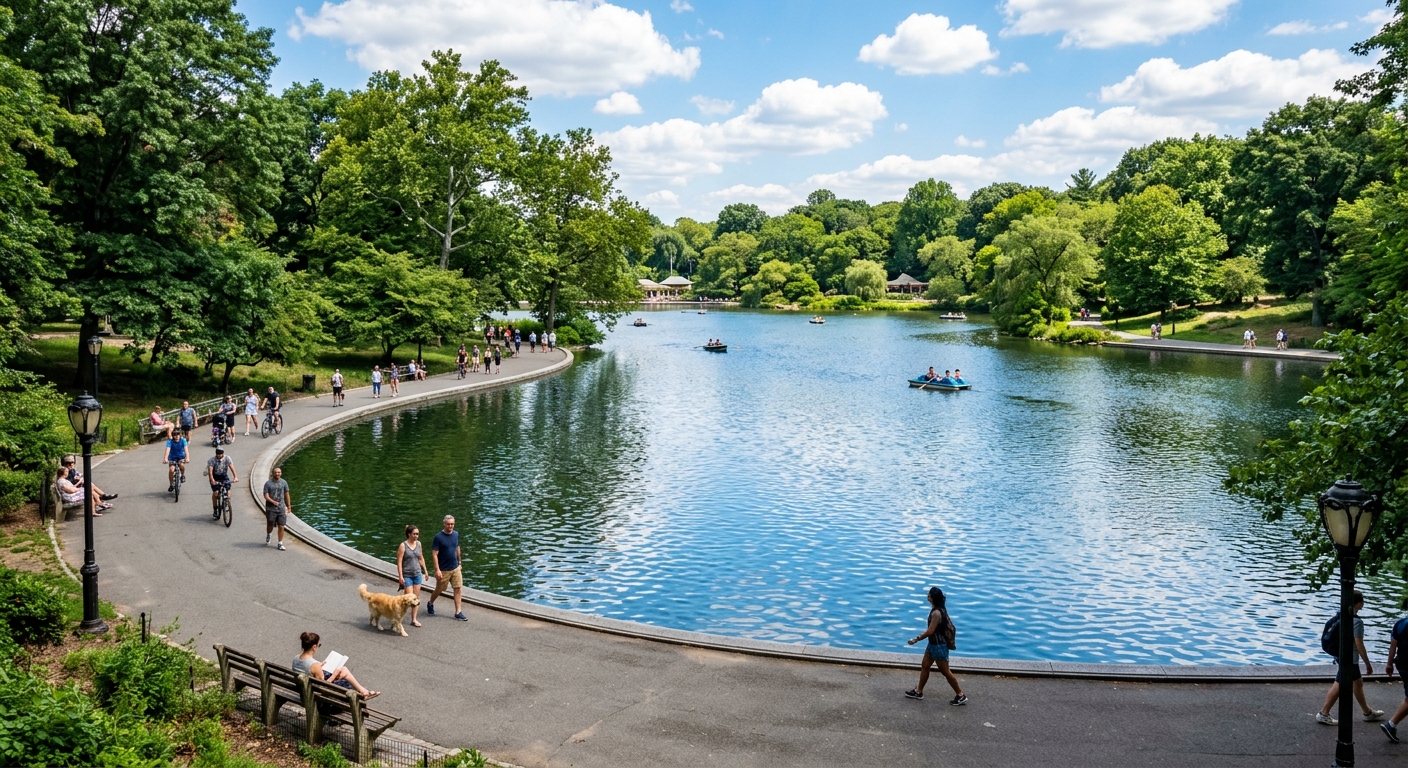
Folsom Lake and Sacramento River Delta waterways
Folsom Lake, just east of Sacramento, is the region's most prominent waterbody and serves as a critical water supply and recreation resource. The reservoir is fed by the American River and managed by the U.S. Bureau of Reclamation. Its water levels fluctuate significantly with the state's water delivery schedule and drought conditions; during the 2012-2016 drought, Folsom dropped to as low as 17% of capacity, exposing miles of shoreline and dramatically concentrating nutrients in the remaining water.
The Sacramento-San Joaquin Delta, south and west of Sacramento, is a vast network of tidal channels, sloughs, and islands protected by an aging levee system. Delta waterways support agriculture, municipal water supply diversions, fisheries, and recreation. The Delta's water quality is influenced by a complex mix of agricultural drainage, urban runoff from the Sacramento metropolitan area, and tidal flows from San Francisco Bay.
Smaller waterbodies throughout the Sacramento area include park ponds, HOA community lakes in rapidly expanding suburban developments like Elk Grove, Natomas, and Rancho Cordova, and agricultural ponds in the transitional zone where urban development meets farmland. These waterbodies experience management challenges that blend urban and agricultural influences.
- Folsom Lake dropped to 17% capacity during the 2012-2016 drought, concentrating nutrients dramatically.
- The Sacramento-San Joaquin Delta is a complex network of tidal channels influenced by agriculture, urban runoff, and tidal flows.
- Rapidly growing suburbs like Elk Grove and Natomas contain expanding inventories of HOA community ponds.
- The urban-rural transition zone creates waterbodies that receive both agricultural and urban runoff.
Urban-rural transition and warm summers
Sacramento's rapid suburban expansion into formerly agricultural land creates a unique management dynamic. New housing developments are often built on or adjacent to land that was recently in agricultural production, meaning that ponds in these developments may sit on soils with elevated nutrient content from years of fertilizer application. As these areas urbanize, the nutrient sources shift from agricultural to urban, fertilized landscaping, pet waste, and impervious surface runoff, but the baseline soil nutrient reservoir remains.
Sacramento's climate features hot, dry summers with daytime highs routinely exceeding 95°F from June through September. These sustained high temperatures drive water temperatures in local ponds into the mid-to-upper 80s, creating conditions where dissolved oxygen drops, algae blooms intensify, and organic muck accumulation accelerates. The Sacramento area's inland position means it does not benefit from coastal cooling that moderates temperatures in the Bay Area.
The winter rainy season, typically November through March, delivers the region's annual rainfall (about 18 inches) and produces the nutrient-laden runoff that loads waterbodies for the following summer. The transition between wet winter and hot dry summer is abrupt in most years, meaning that ponds go from receiving high-nutrient inflows to experiencing rapid warming and evaporative concentration over just a few weeks in spring.
- New developments on former agricultural land may inherit elevated soil nutrient levels.
- Summer daytime highs regularly exceed 95°F, pushing pond water temperatures into the mid-to-upper 80s.
- Sacramento receives about 18 inches of annual rainfall, concentrated in the November-March wet season.
- The abrupt transition from wet winter to hot dry summer creates rapid shifts in pond conditions.
Levee waterways and flood management considerations
Sacramento is one of the most flood-vulnerable cities in the United States, protected by an extensive system of federal and state levees along the Sacramento and American Rivers and throughout the Delta. This flood management infrastructure directly affects local waterbody management because many ponds, canals, and drainage features are part of the broader flood protection system.
Ponds within or adjacent to levee-protected areas may be subject to restrictions on activities that could affect levee integrity. Planting trees near levees, excavating within levee easements, or altering drainage patterns can trigger regulatory review from the Central Valley Flood Protection Board or the U.S. Army Corps of Engineers. Pond owners in these areas should verify whether their property falls within a designated floodway or levee maintenance zone before undertaking any significant physical modifications.
The Sacramento area's drainage district system, a network of local agencies that manage water levels, pump stations, and drainage canals, also affects pond management. Many suburban ponds are connected to drainage district infrastructure, meaning that water levels and discharge are partially controlled by district operations. Understanding your pond's relationship to the local drainage district can clarify questions about water supply, discharge limitations, and maintenance responsibilities.
- Sacramento's levee system creates regulatory constraints on activities near or within levee easements.
- The Central Valley Flood Protection Board oversees activities that could affect levee integrity.
- Local drainage districts manage water levels and pump stations that can affect connected ponds.
- Pond owners near levees should verify whether their property is within a designated floodway zone.