
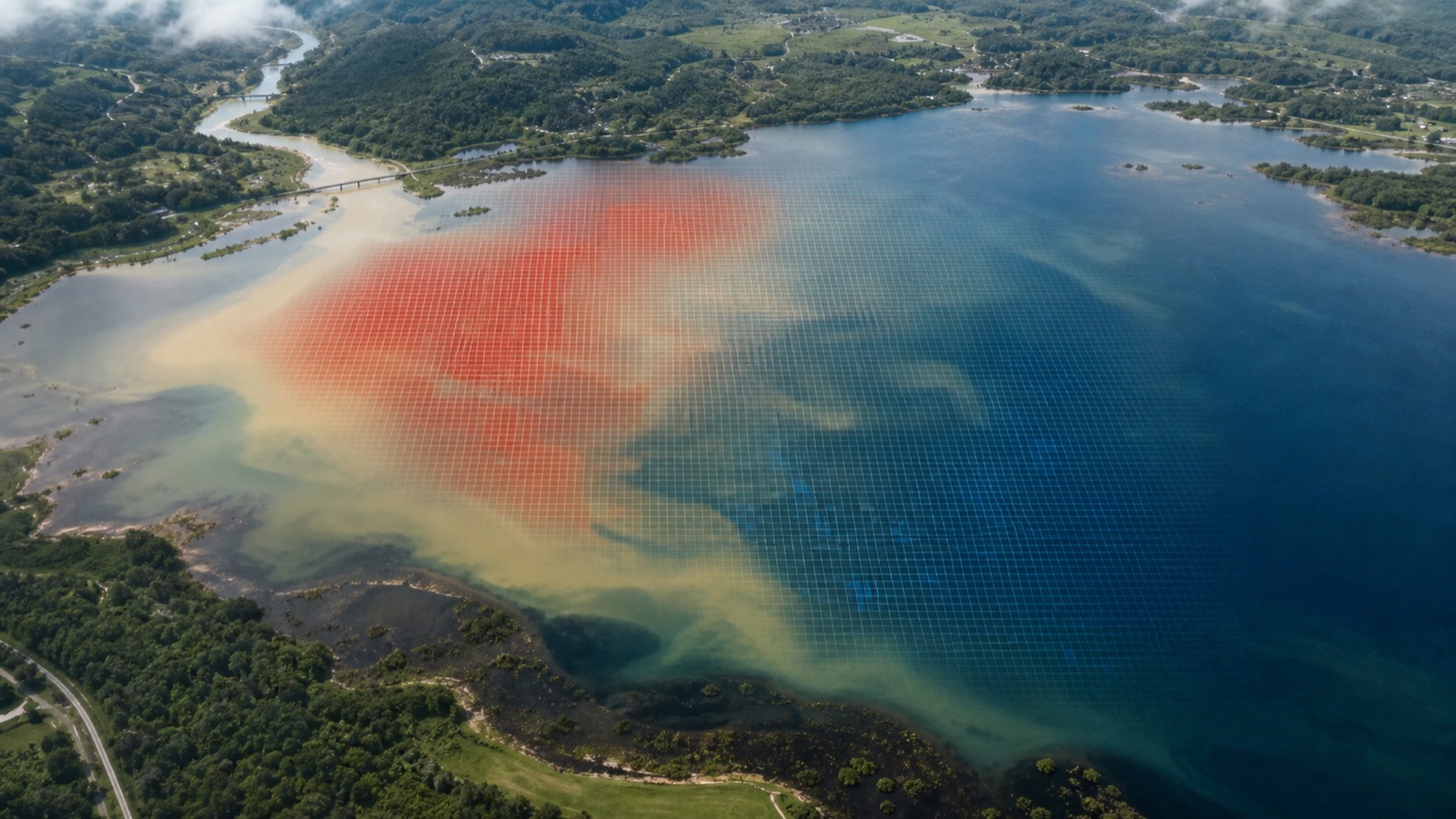
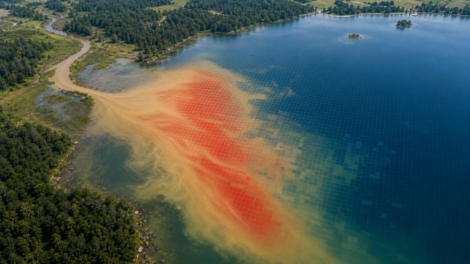
What the satellite actually sees
Turbid water contains suspended clay, silt, organic particles, algae, or other material that scatters sunlight. As the suspended load increases, the water often reflects more light back toward the satellite in visible bands.
LakeTech's turbidity product uses Landsat Collection 2 Level-2 surface reflectance as a practical turbidity proxy. The red band is important because it responds strongly to many suspended-particle conditions in inland water.
Like all optical satellite products, turbidity estimates depend on usable scenes. Clouds, haze, sun glint, ice, and mixed shoreline pixels can all interfere with the signal, so the workflow filters and buffers before storing values.
- Suspended particles scatter light and can brighten water pixels.
- Landsat red reflectance provides a useful turbidity signal for many lakes.
- The output is a proxy for management review, not a certified laboratory NTU result.
- Filtering poor scenes is essential because atmosphere and glare can look like water change.
- Surface optical estimates are not direct measurements of toxins, dissolved oxygen, nutrients, or whole-water-column conditions; they require local field validation and must not alone drive reopening or treatment decisions.
How LakeTech creates the turbidity layer
The process starts with the waterbody boundary and date window. LakeTech selects clear Landsat observations, applies the shoreline buffer, and calculates a turbidity proxy from surface reflectance.
The values are then saved so they can be viewed as a map, compared in charts, exported, or combined with field logs. A turbidity spike after a rain event can be interpreted differently when it is shown beside rainfall, treatment, and inspection records.
Because algae, sediment, and colored organics can interact in optical imagery, turbidity is strongest when interpreted with related parameters like chlorophyll-a, cDOM, and Secchi depth.
- Boundary and cloud screening happen before the index is calculated.
- Red reflectance is converted into a turbidity proxy.
- Stored values make turbidity comparable across dates and locations.
- Related satellite parameters help explain what may be driving the signal.
Why turbidity data matters
Turbidity is often the parameter that tells the storm story. It can reveal erosion, construction runoff, shoreline disturbance, resuspension, inflow plumes, and other suspended-material events.
For lake managers, a map is useful because turbidity is rarely uniform. One inflow may carry sediment while the rest of the lake stays clear. One shallow basin may resuspend during windy weather while deeper areas remain stable.
Satellite turbidity helps managers decide where to inspect, where to sample, and whether a visible clarity complaint is related to sediment, algae, organic color, or a combination of causes.
- Identify runoff and sediment plumes after storms.
- Compare inlets, coves, shallow basins, and open-water locations.
- Support erosion-control and watershed-management conversations.
- Use turbidity trends to explain clarity changes over time.